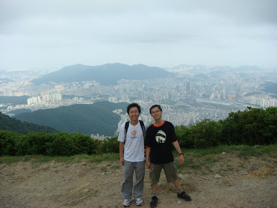
Am I crazy or what? Of late, I've been doing what Koreans like to do best, mountain hiking.... I am not joking. I have done 황령산(荒領山), partial 엄광산(嚴光山), and of course, the current record for me, Busan 2nd highest, 백양산(白楊산). 백양산 is my biggest achievement so far, as it involves a series of peaks before reaching the real thing. I think those who had followed me must be cursing me by now for dragging them along for the hike. Where the heck are all these mountains you ask? Here is a screen capture using Google map.

How to get up there? For those of you who are interested to try those mountains, here are the maps for your reference.


Some achievement photos to share.


Chee Min has done a software photo stitching taken on the way to 백양산. Quite cool, albeit some minor 'error'.


No comments:
Post a Comment